Ocean Intelligence
An AI-powered marine platform for forecasting ocean plastic transport.
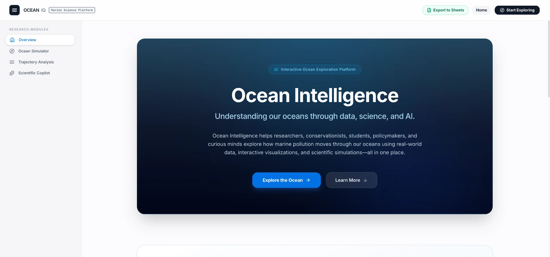
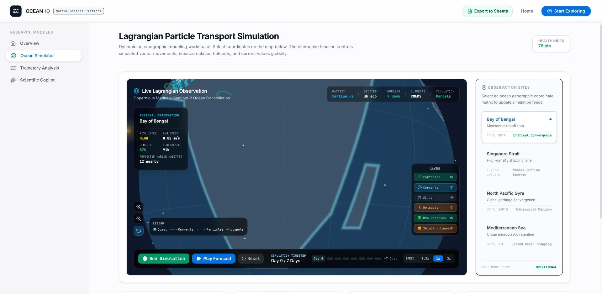
Ocean Intelligence is designed to be the operating system for marine environmental analysis — a modular platform where researchers, NGOs, and governments simulate, forecast, and explain the movement of marine pollutants. The first operational module, Plastic Intelligence, analyzes and explains microplastic transport across four regions (Bay of Bengal, Singapore Strait, North Pacific Gyre, Mediterranean).
Existing marine tools each solve one narrow task — current visualization, NetCDF viewing, GIS mapping, numerical simulation — and require deep oceanography expertise to combine. There is no unified decision-support surface that turns raw environmental observations into scientifically grounded, explainable forecasts.
A working scientific decision-support system — not another map viewer — that reduces the time from raw oceanographic data to a grounded explanation from days to minutes. The engine is intentionally domain-agnostic, so future modules (oil spill, harmful algal blooms, fisheries, coral reef, biodiversity, climate) plug into the same OceanState + Copilot core.
How it was built.
- 01
Central Ocean Intelligence Engine coordinates data pipelines, simulation state, and frontend requests through a single OceanState abstraction — currents, temperature, salinity, forecast day, particle density, hotspots, and confidence — so simulation, visualization, and AI reasoning all consume one consistent interface.
- 02
CMEMS integration for live regional retrieval of surface currents, SST, and salinity, with deterministic fallback datasets so demos and offline analysis never break.
- 03
Ocean simulation engine models plastic drift from surface velocity fields, producing particle trajectories, transport vectors, and accumulation hotspots per forecast day.
- 04
Scientific Copilot (Gemini) is restricted to OceanState — it explains conditions, transport mechanisms, and confidence, and gracefully degrades to deterministic explanations if the LLM is unavailable, so the platform never hallucinates outside the data.
- 05
React + Three.js + Framer Motion dashboard for regional selection, forecast timeline, current-vector visualization, particle simulation, hotspot analysis, and Copilot chat.
"Grounding the LLM in OceanState instead of free-form prompts was the unlock — the Copilot became a scientific instrument instead of a chatbot."